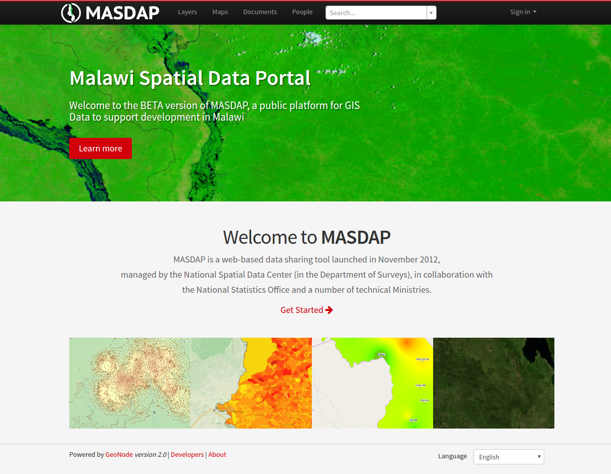
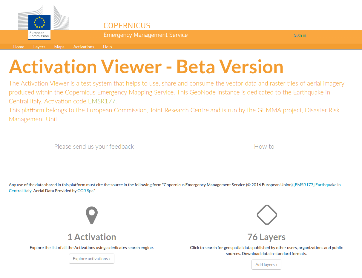
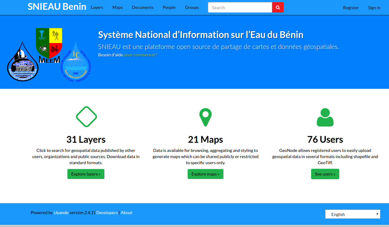
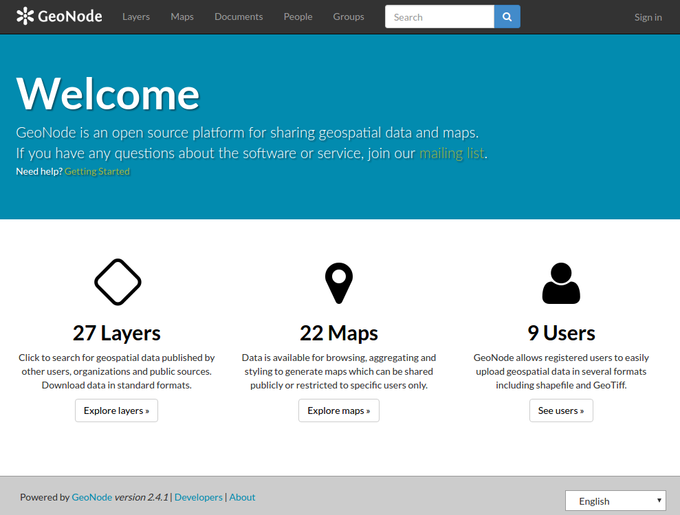
GeoNode

Geospatial content management made easy
Who am I? |
|

Sara Safavi
ssafavi@boundlessgeo.com
|
- Software Engineer at Boundless
- Core Contributor on GeoNode
- That lady who always talks about Open Source GIS

|
In a Nutshell:
GeoNode is a free & open source software platform for creating &
managing online, collaborative GIS content
Store once, access anywhere
GeoNode puts your GIS content in the a* cloud.

*e.g., your org's private cloud
Quick Facts
- GeoNode 1.0 released in 2010
- Initial work by World Bank, OpenGeo
- Current release: GeoNode 2.4 (2.5 beta)
- Around 30 core committers today
...what was that about "free"?
Free & Open Source
What does that mean?
- no cost to use
- no license restrictions
- freely customizable for your org's needs
- community support: GitHub, mailing lists, IRC
- optionally: commercial support available too
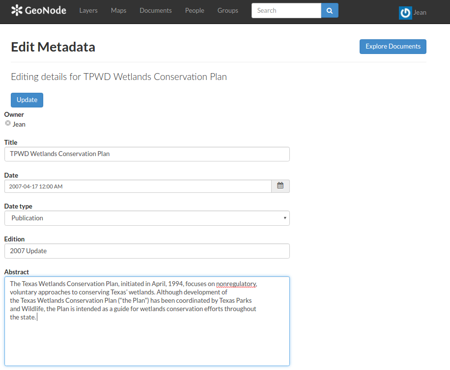
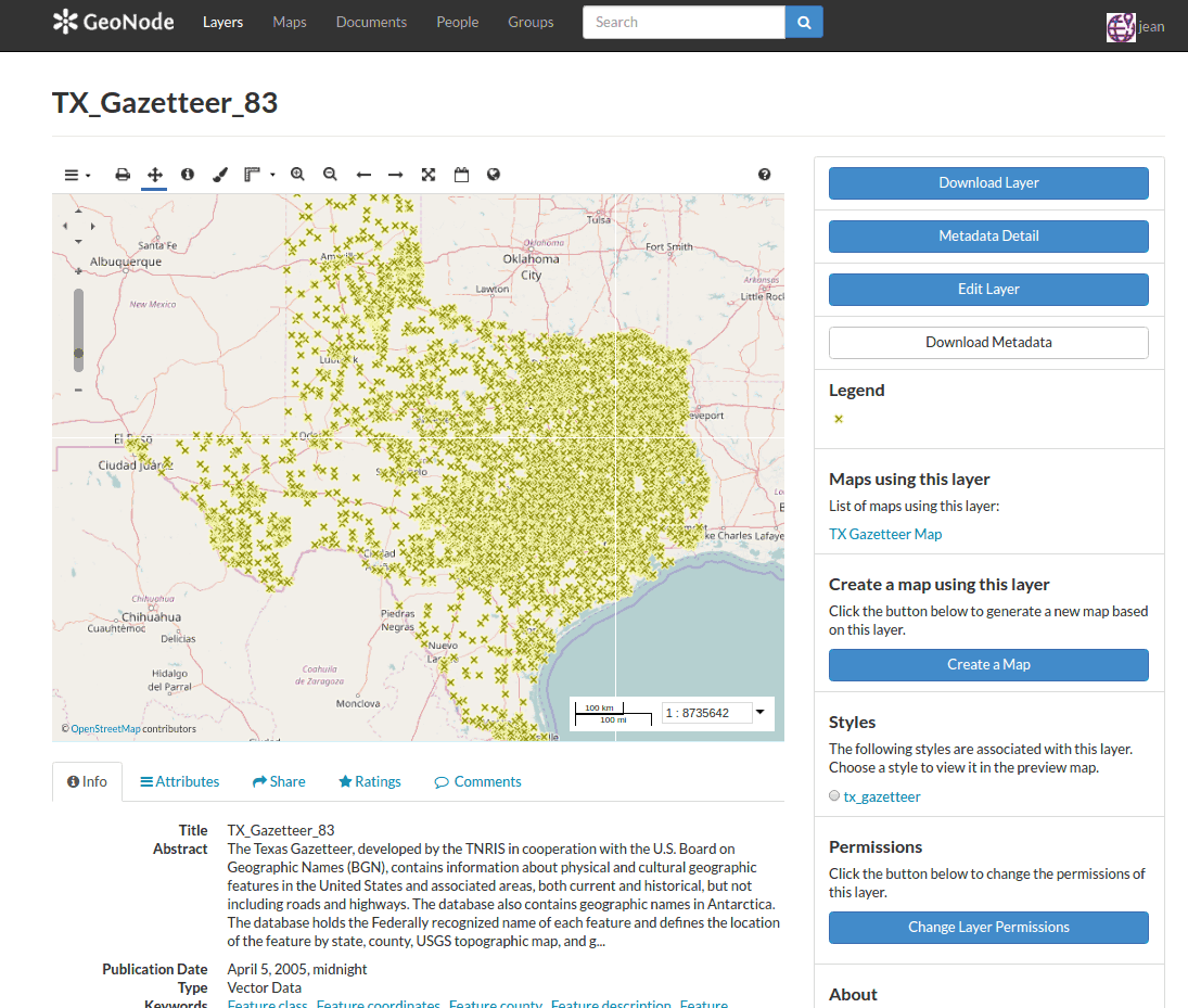
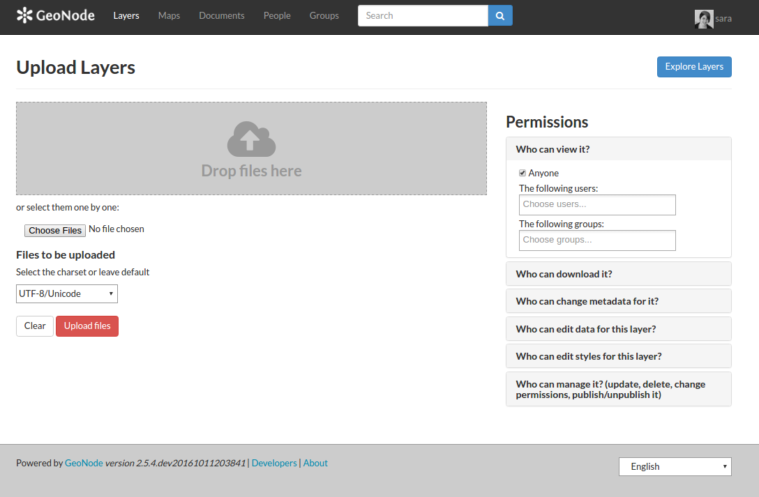
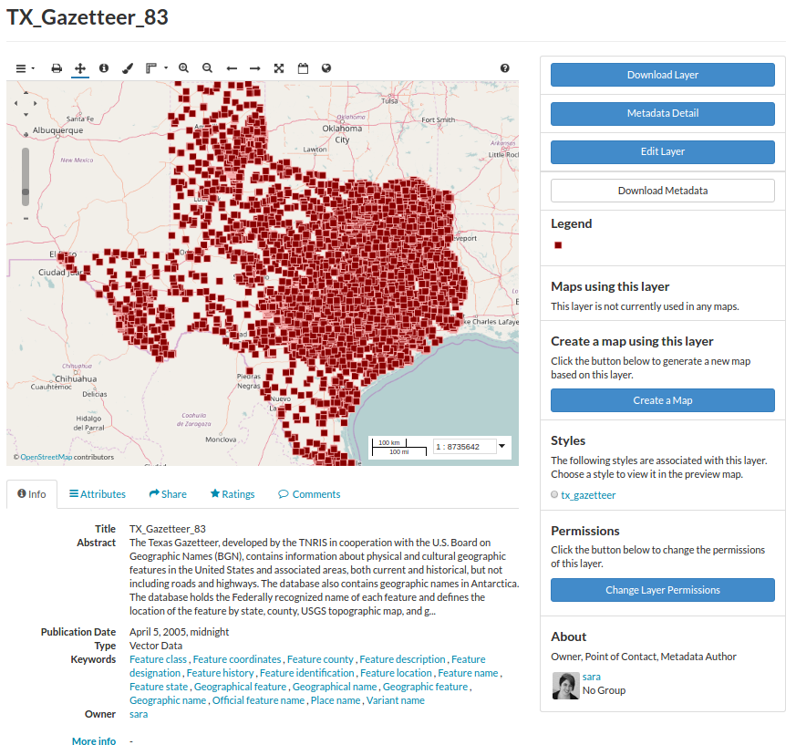
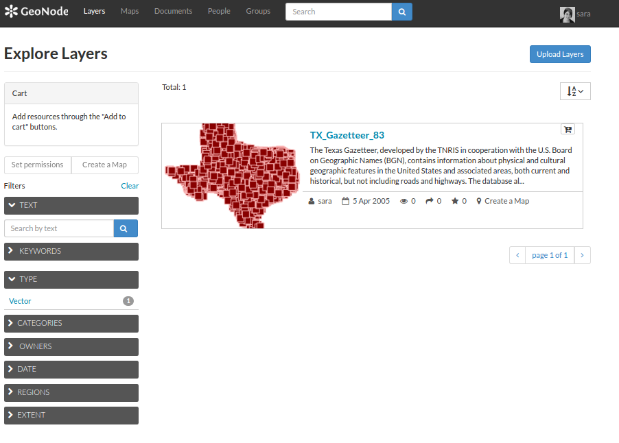
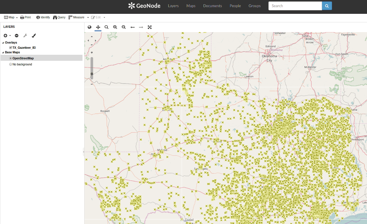
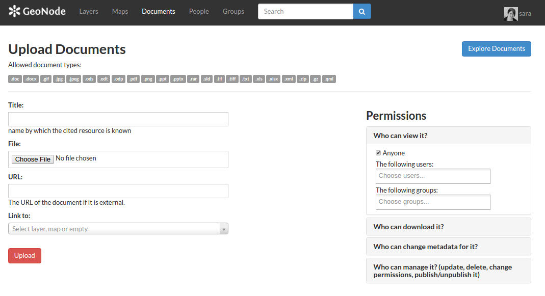
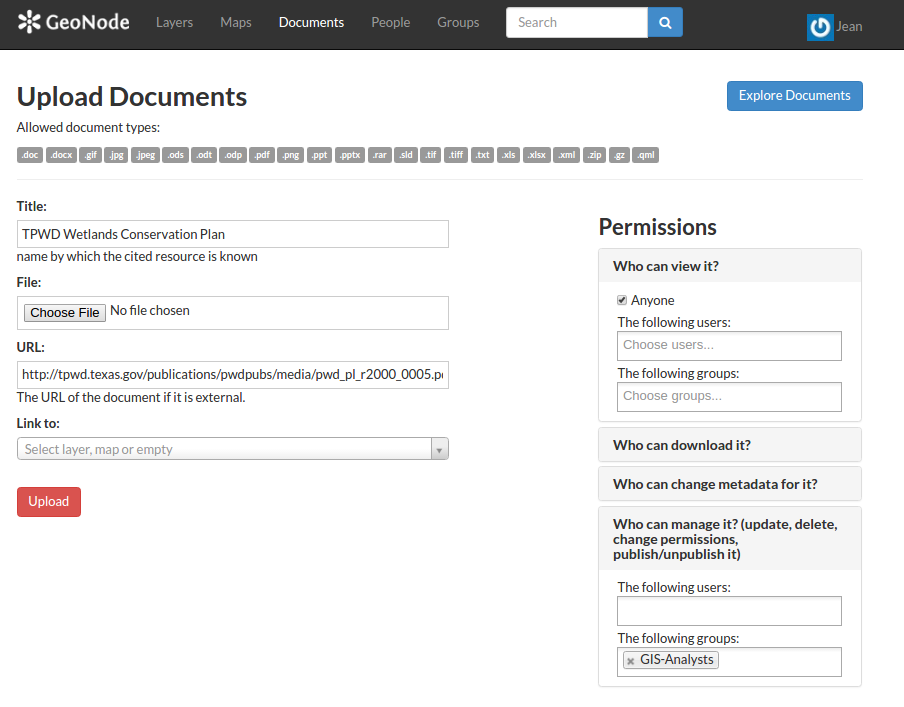
Upload Content
Spatial Data
raster & vector
layers are reprojected
to web mercator automatically
|
Non-Spatial Data
build a library of
related documents
(e.g., PDFs,
JPGs, DOCs, etc)
|
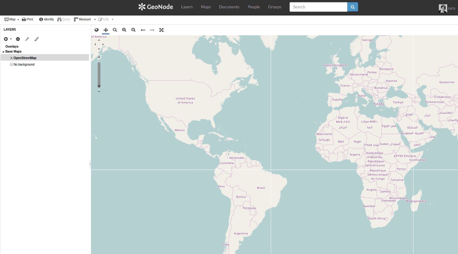
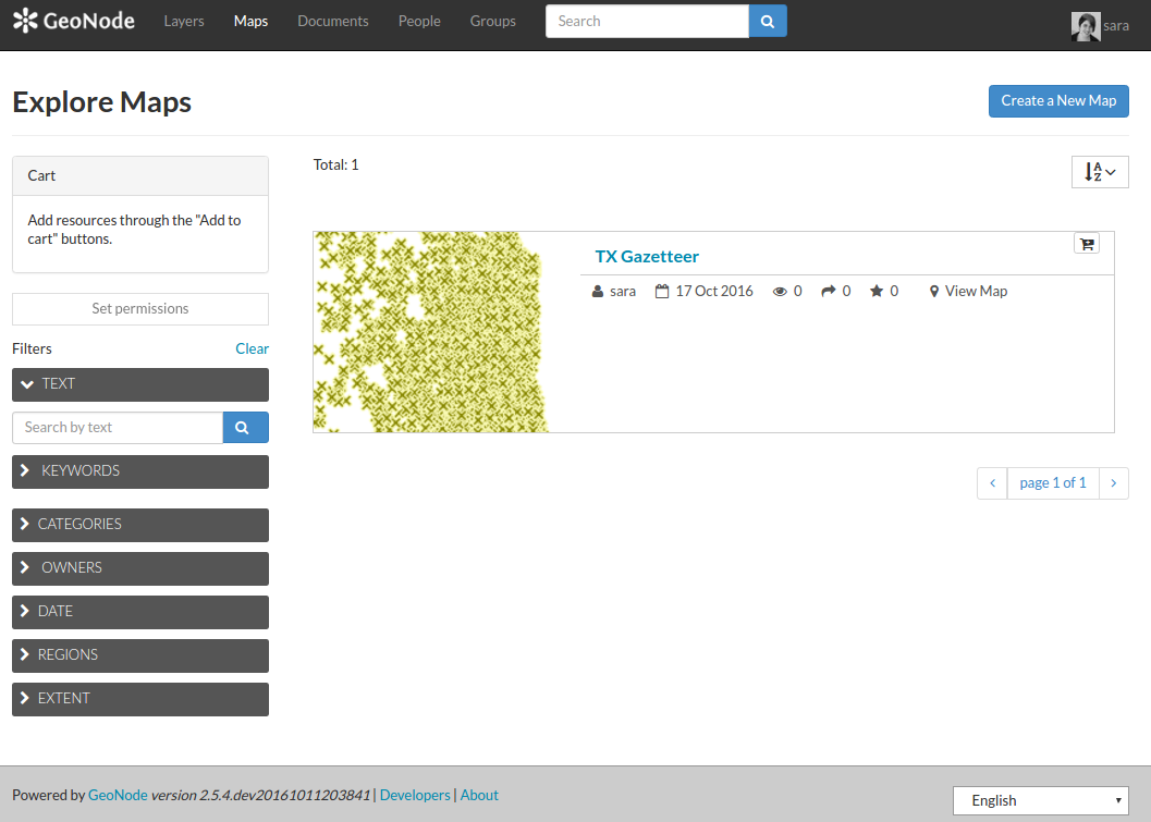
Create Maps
- Use uploaded layers to create custom-styled web maps
- Print maps or generate PDFs
- embed "slippy maps" in other sites
- make public, or selectively share with other users
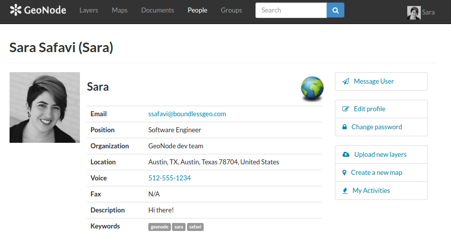
Manage Users
- Invite users to your GeoNode instance
- Give different users different permissions based on their role in the organization
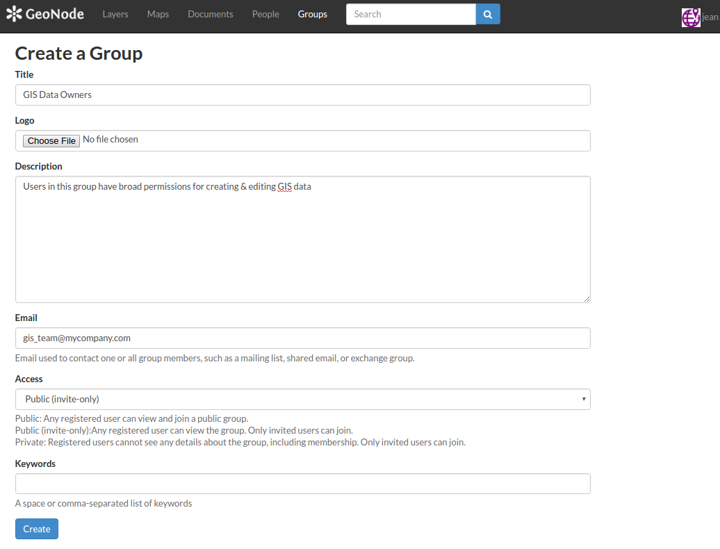
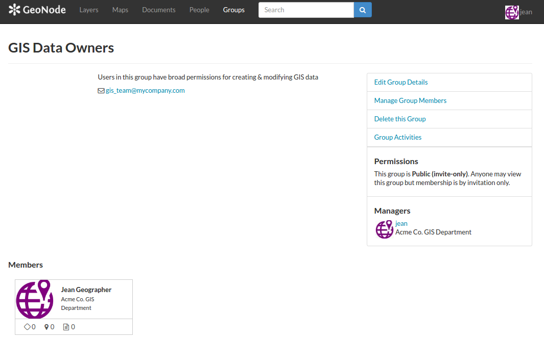
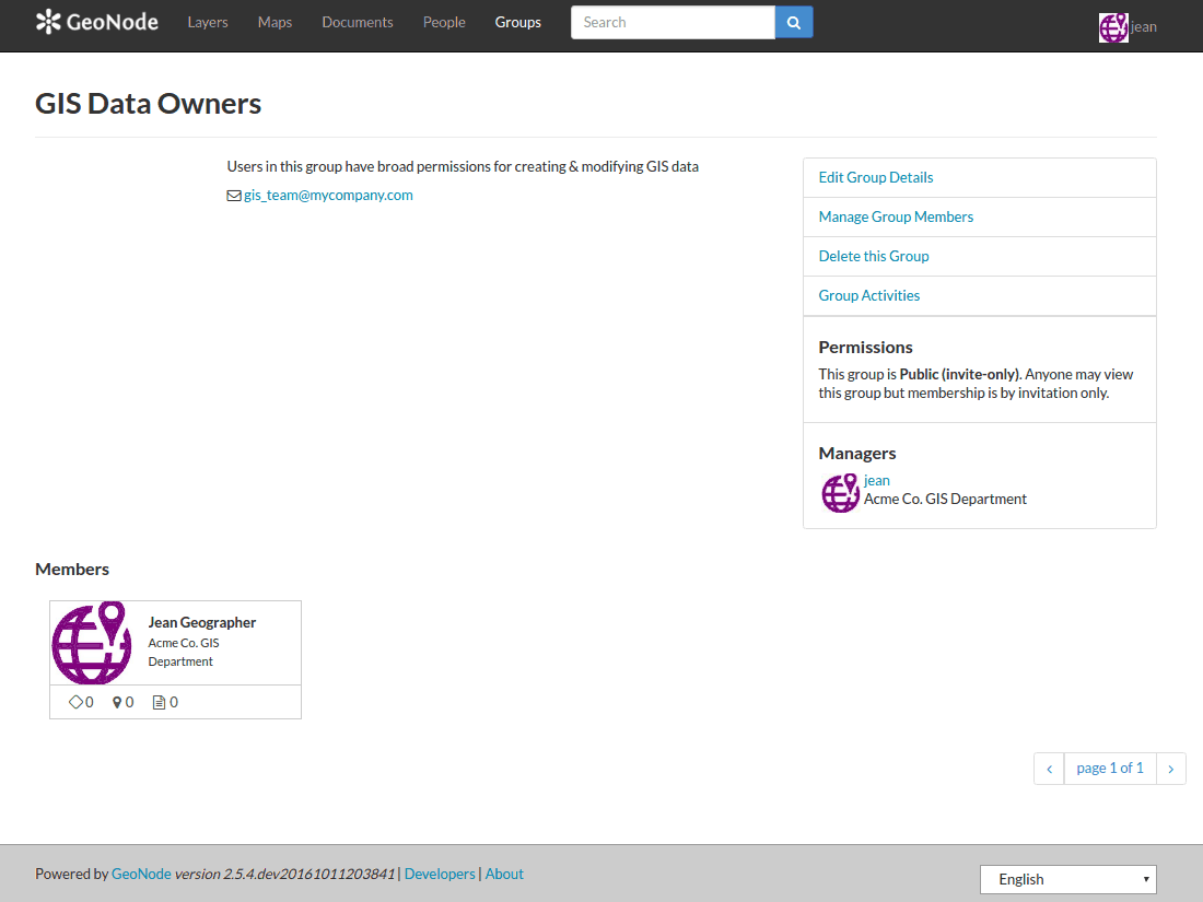
- Create groups to manage permissions for multiple users at once
Where you fit in:
Geonode is for...
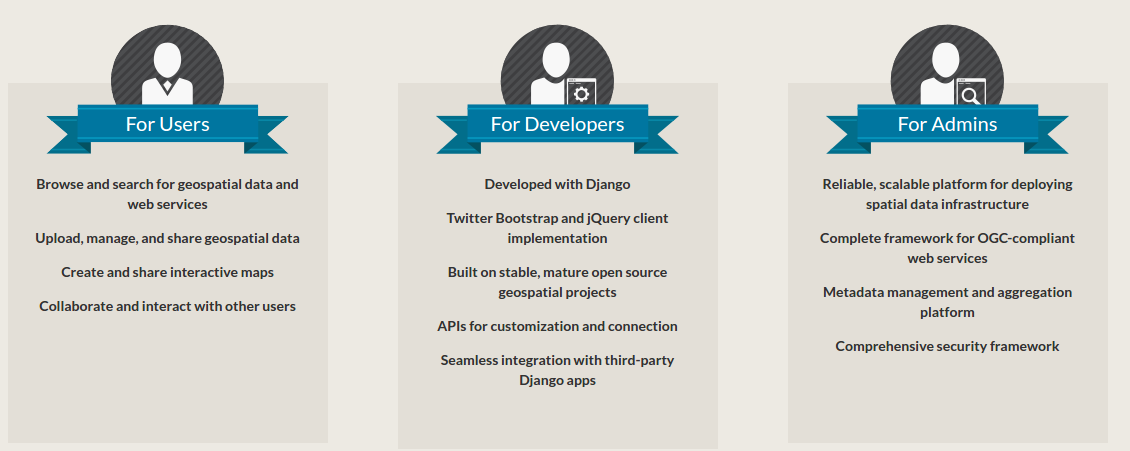
source: geonode.org
GeoNode in your GIS shop
To use GeoNode in your org, you don't need a developer - just someone
who can act as "administrator"
Everyday GeoNode users only need a web browser
Of course you can choose to go further, and developer skills
would be necessary if your org needed to really customize GeoNode for
their needs.
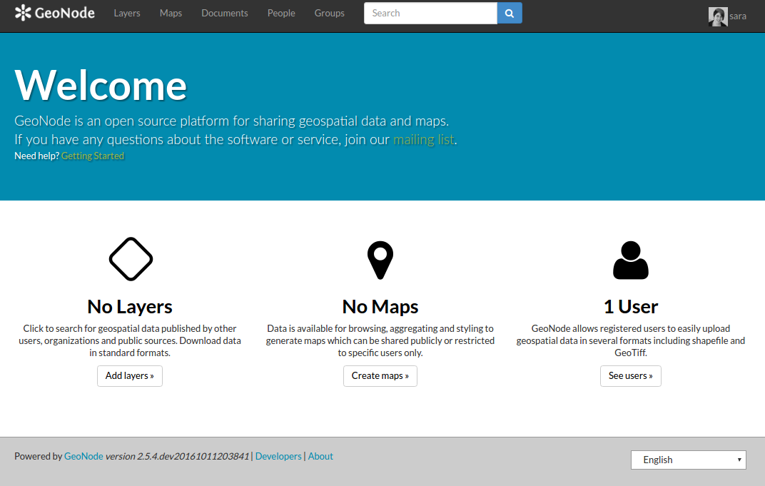
Using GeoNode:
A 100% not-live demo
because Sara doesn't trust computers
Some current use cases
Thinking ahead: GeoNode's future
Future plans for GeoNode
- Annual summit: Nov 2016 in Rome
- GeoNode 2.6 to be released this quarter
- Up next: Django 1.8, additional data type support, improved search